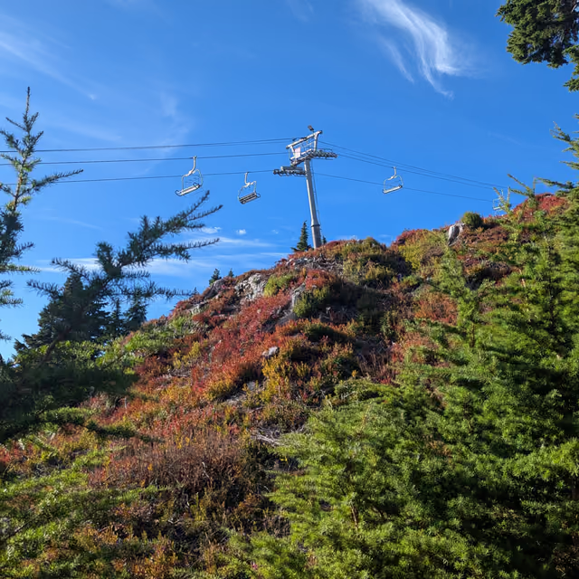
Brunswick Mountain
Oct 11, 2026

Little must be said about the infamous Brunswick Mountain. Standing as the tallest peak in the North Shore mountain range at 1,788m it is a must-do for Lower Mainland locals and anyone passing through the area.
Parking for this hike is extremely limited so be sure to get there early and eager. However, if you do not chance upon a parking spot there are several nearby homeowners willing to rent out parts of their driveway for a hefty $30 CAD fee (vs the hourly or $24/day standard parking fee).
Wallets lightened and with a pep to our step we continued up the very well-maintained and marked trail. Nearly immediately some signage depicting restrooms came into our visual field, clearly our money was being put to good use.
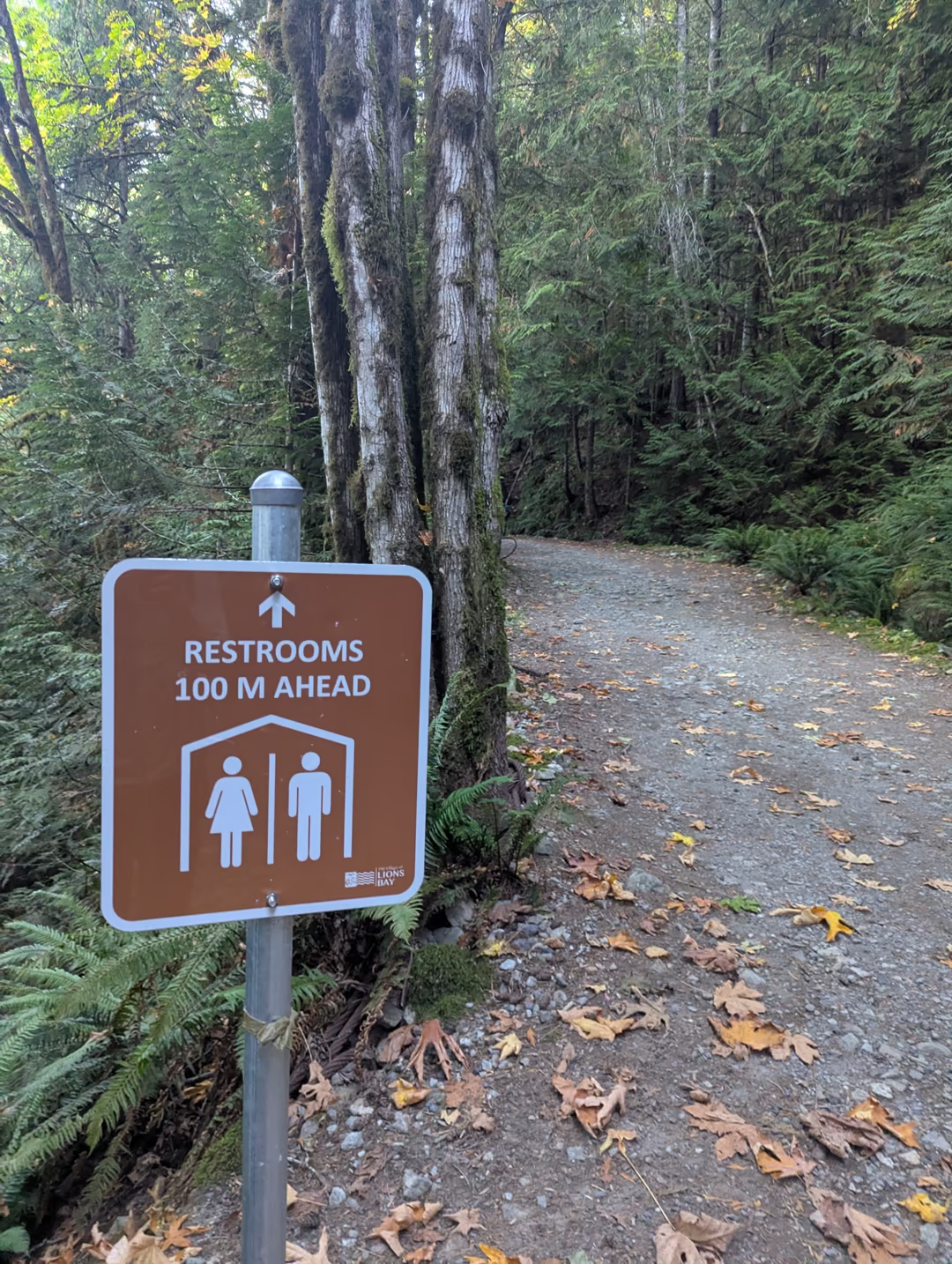
The trail continues steeply upward along a gravel road with multiple purposes. One, for water treatment and secondly for hikers wishing to ascend Brunswick Mountain or even the lower, yet still panoramic Tunnel Bluffs outlook.
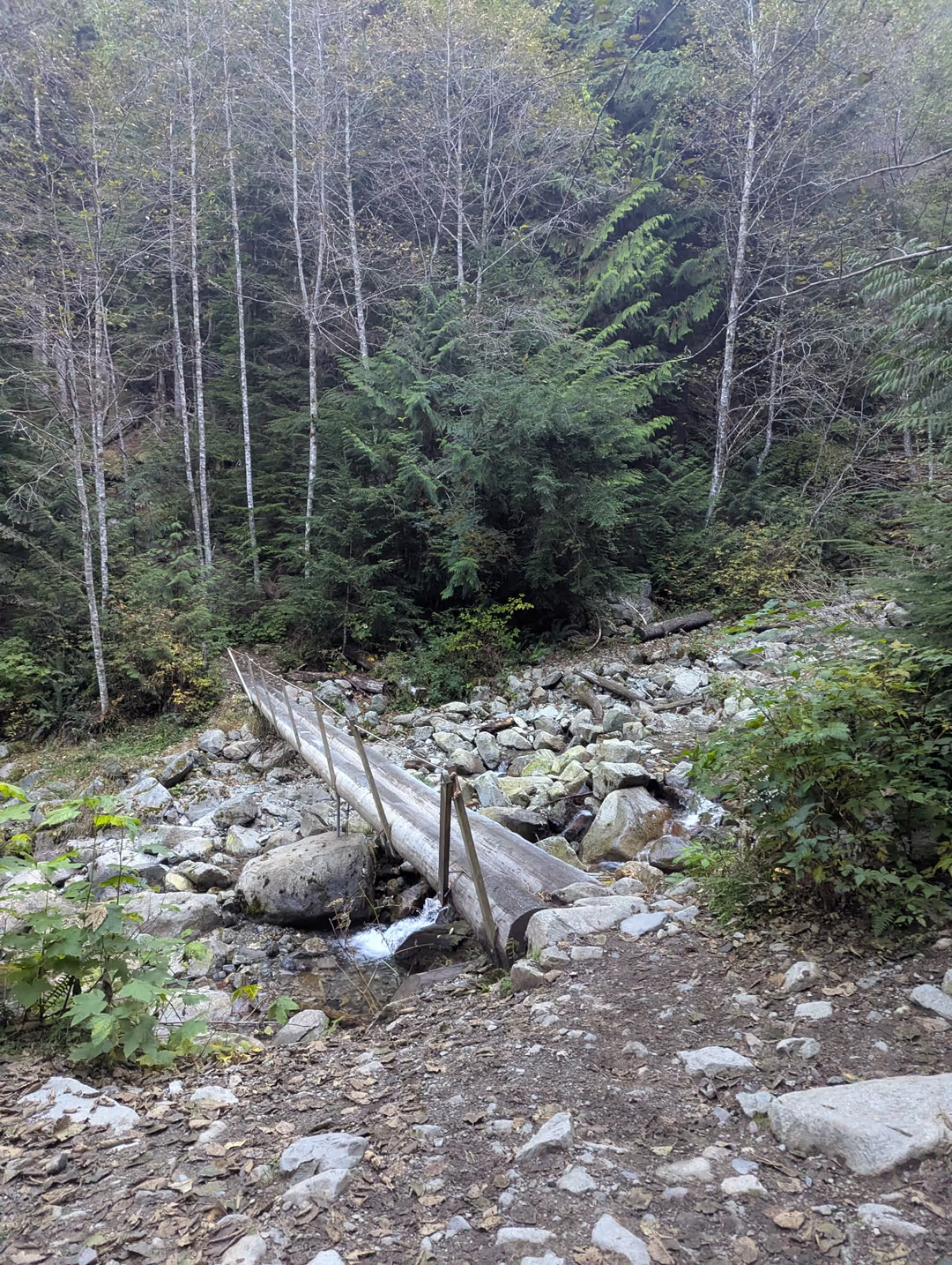
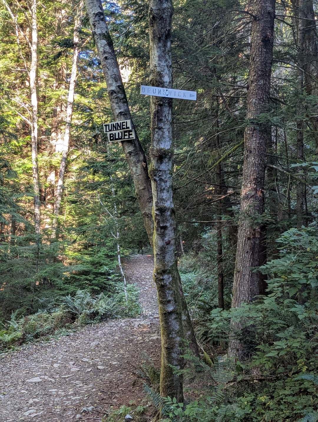
The road ends at a beautiful log bridge, after which the trail continues un-remarkably upwards. After much some time the trail levels out a bit, allowing certain hikers to recover their breath. Clear signage denotes the trails to Tunnel Bluffs and Brunswick Mountain, its very clear which path to take.
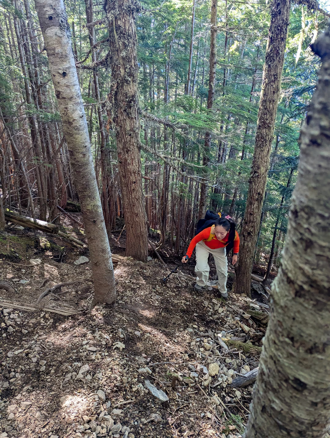
After this point the trail becomes intensely steep, a true leg-burner. But the struggle becomes clearly worth it as you begin to see amazing vistas start to appear as the trees become more sparse.
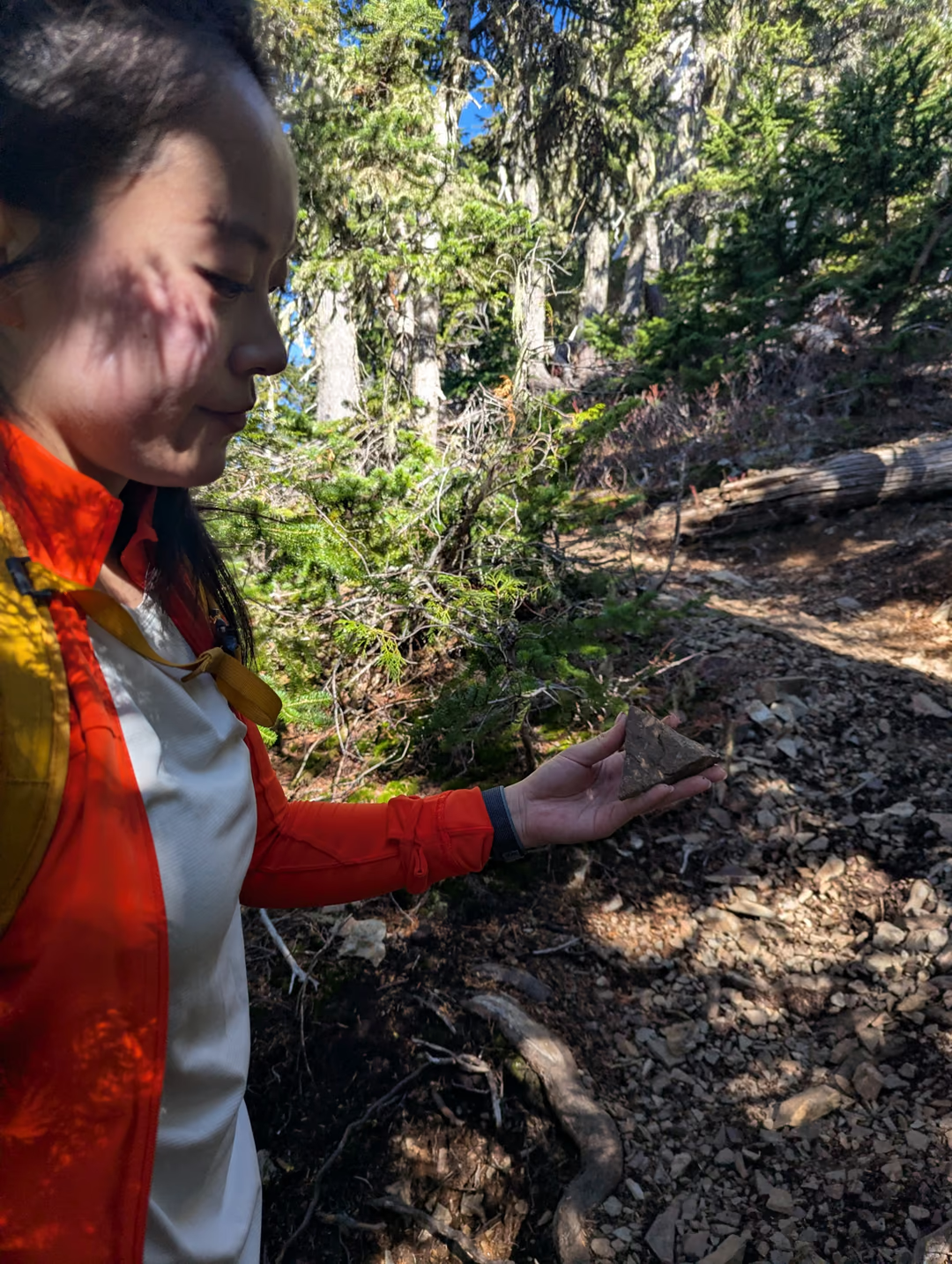
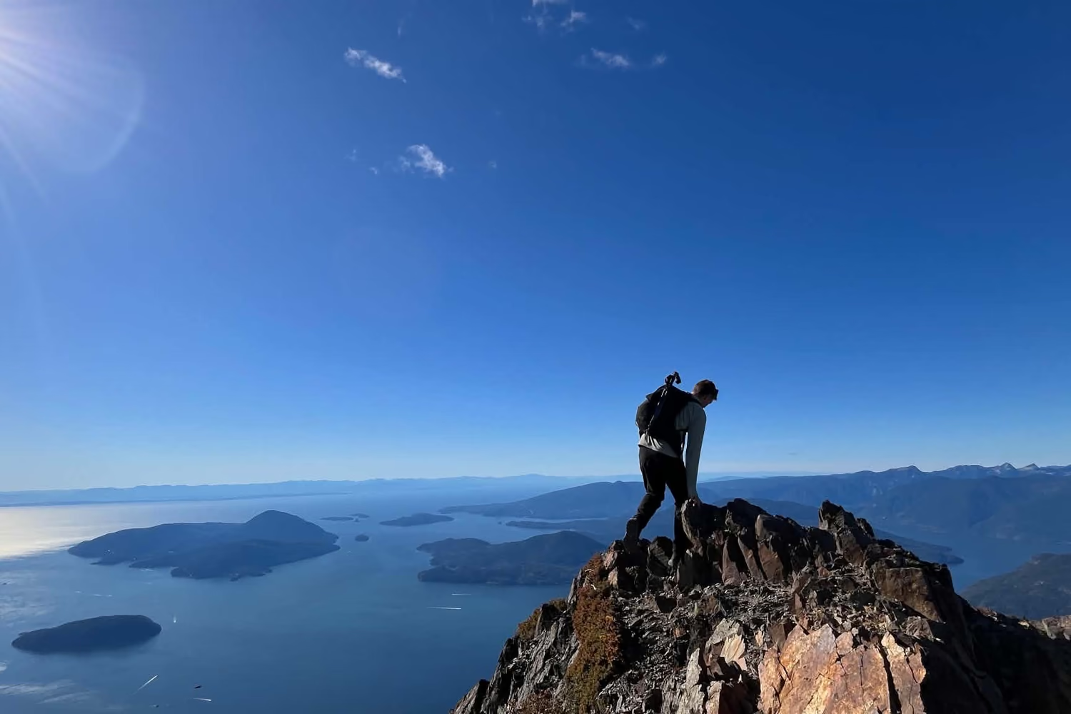
Breaching the tree-line, we noticed some needle ice under the soil, looked out at Anvil Island poking through the trees and spotted a false summit.
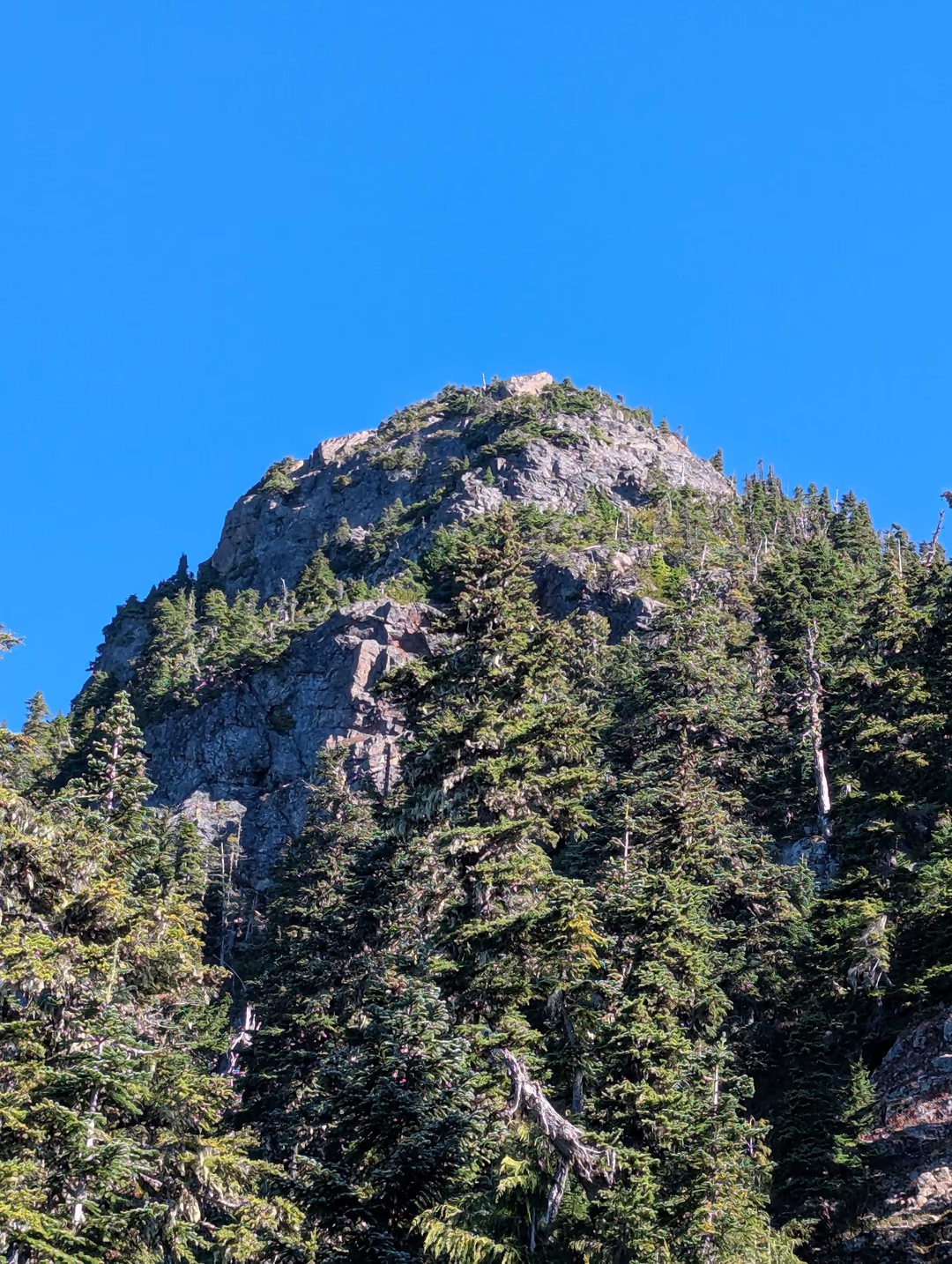
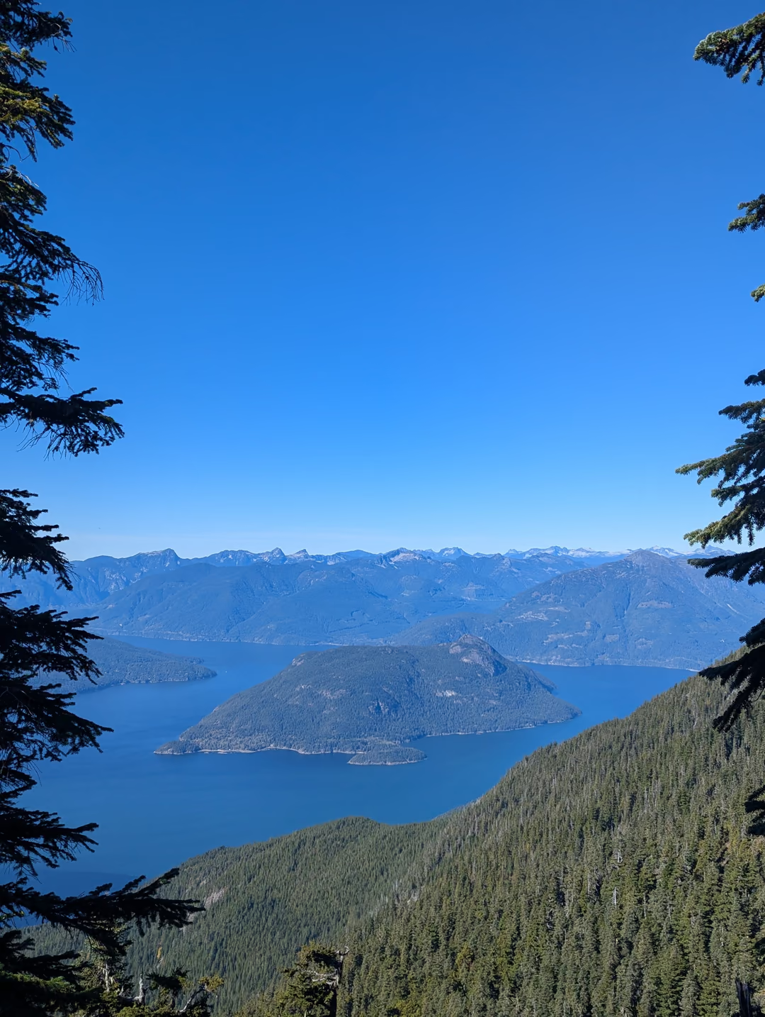
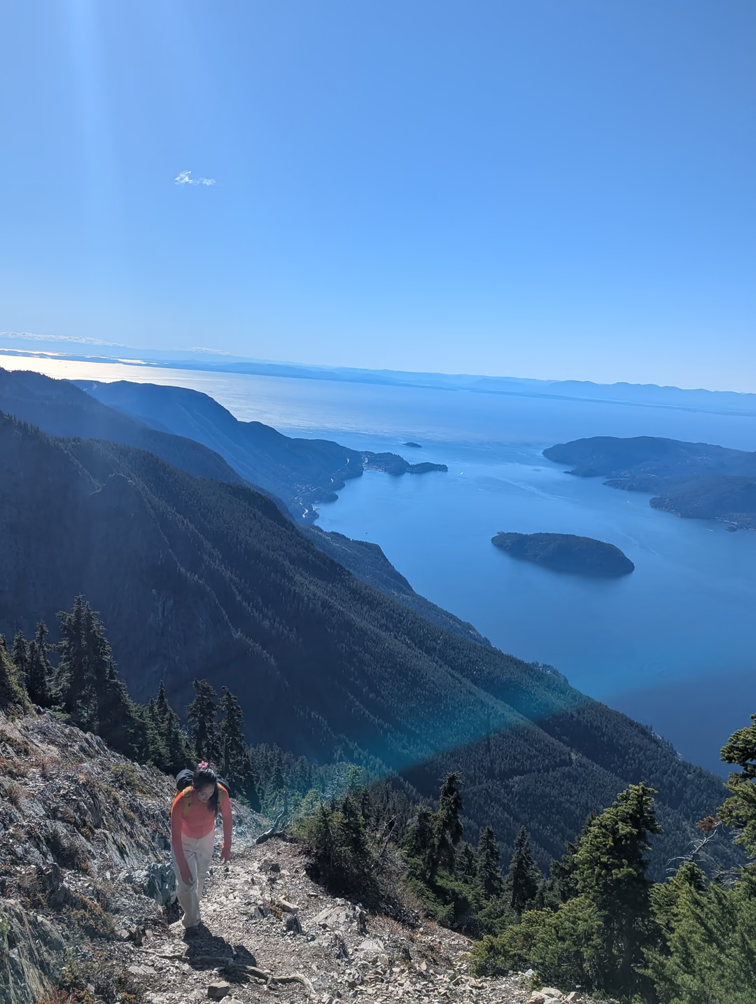
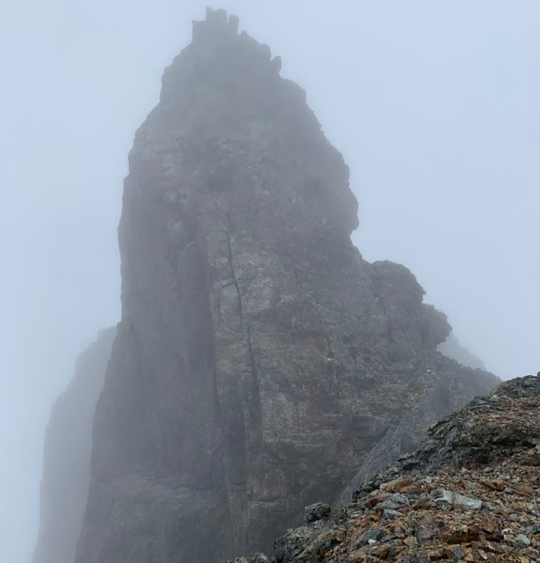
The hike becomes a bit more of a scramble at this point and generally gets much more interesting the higher up the mountain you go. Due to the abundance of loose rock and many hikers above, its worthy to practice caution here or wear a helmet. Cresting the ridge-line we looked up at what appeared to be the summit but is, in fact, a false summit once again. Traversing up and over to it requires a bit of caution but is fairly straightforward. Staying on the treed side is advisable as a fall on that side would be clearly safer than a fall on the cliffed-out side.
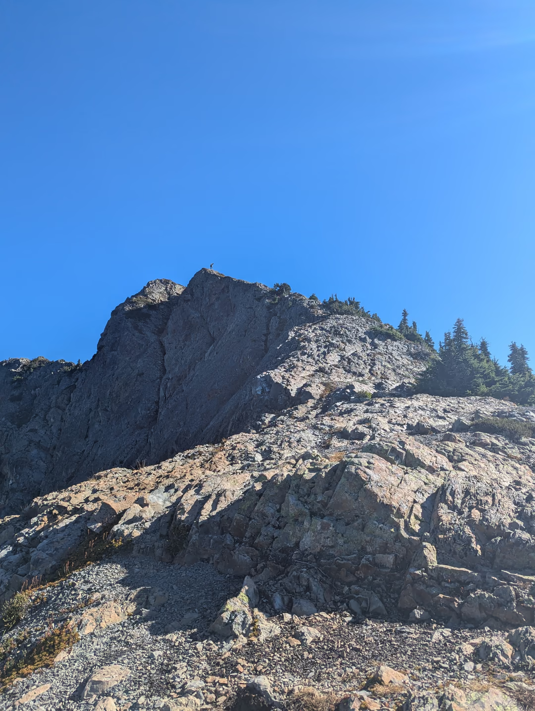
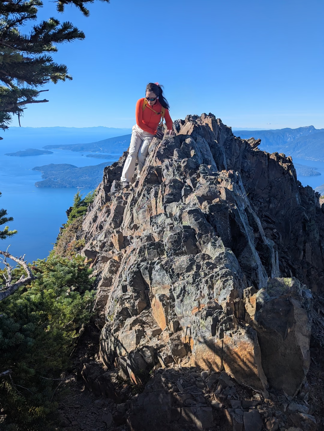
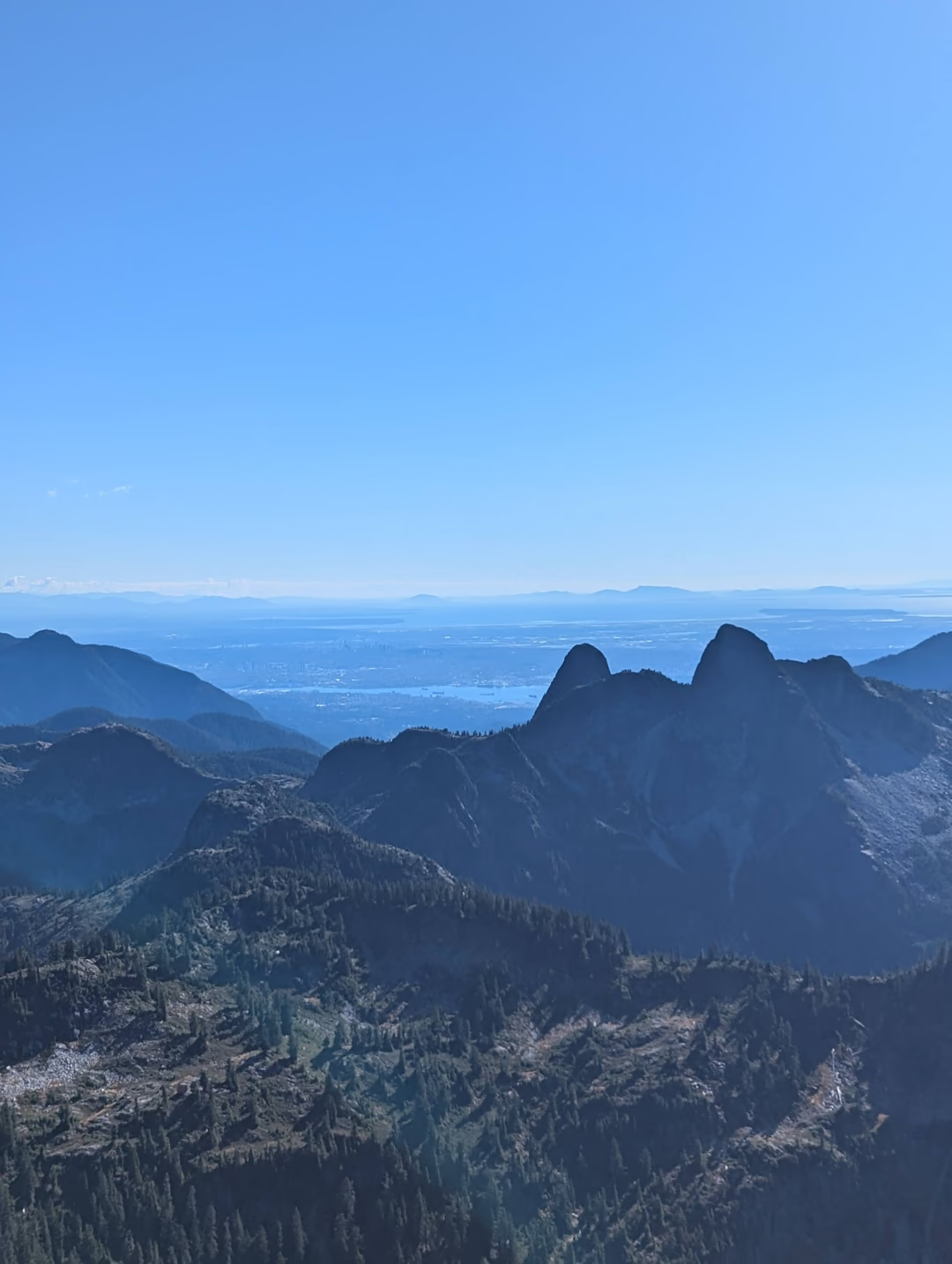
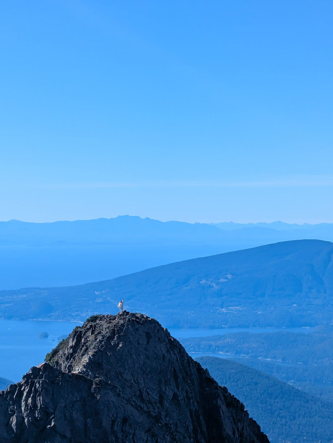
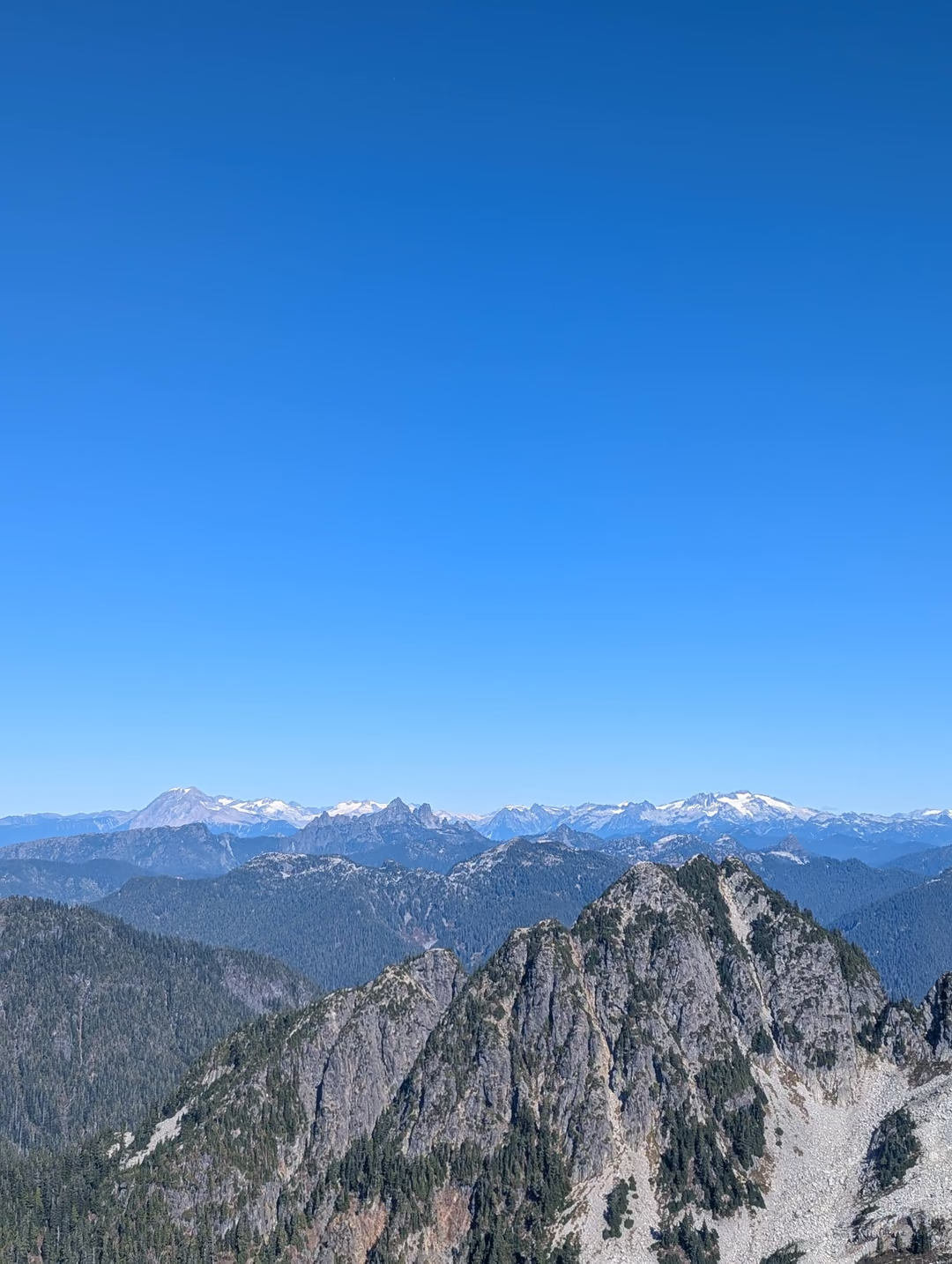
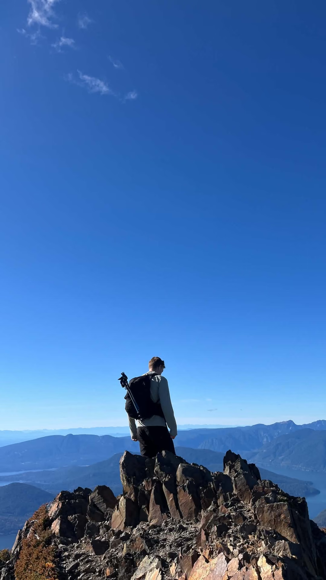
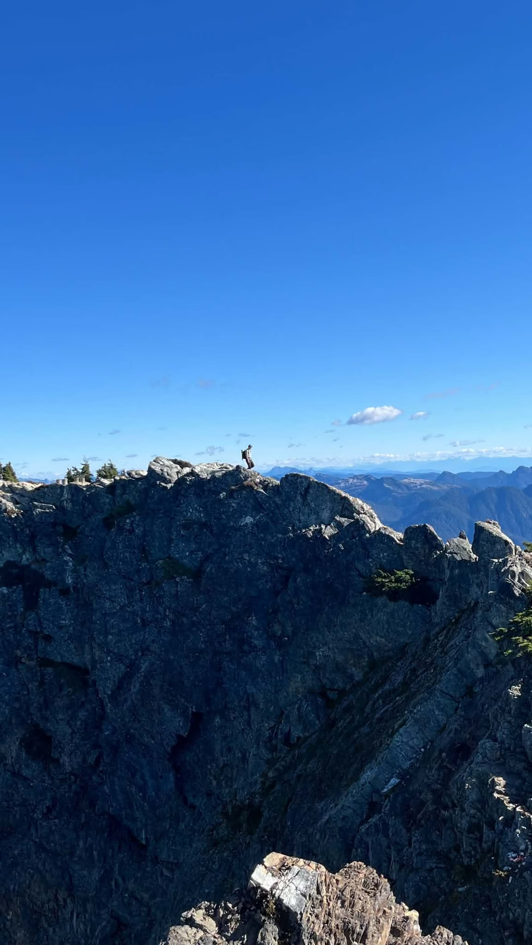
Reaching the false summit Sohee decided that she would bask in the sun and views, while I decided to continue the remainder of the way. After a quick nip over to the true summit, a few photos and a snack later we were ready to make the knee-busting descent back down to civilization.
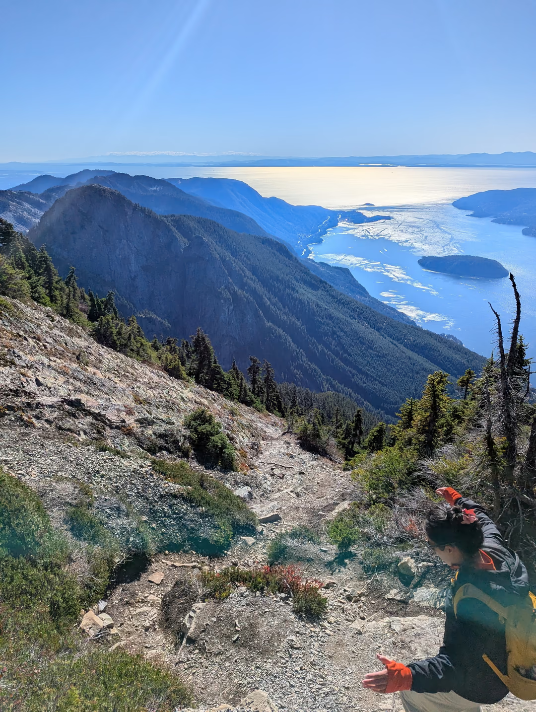
Overall this was a wonderful hike best done on a sunny clear day. Most of this hike is just a slog through trees but the last 2km or so become quite exciting, with the treeline beginning to recede, the majestic coastline and north shore mountains begin to make themselves seen. I think most people could achieve this hike but some scrambling or climbing experience definitely helps near the top.