Kings Peak
Jun 30, 2026

2L of water
22 litre backpack
Hiking poles
Climbing Helmet
Lots of food
Bug spray (mosquitos were quite ferocious at times)
Sunscreen, Hat, Glasses, Sun hoody
Lightweight hiking boots
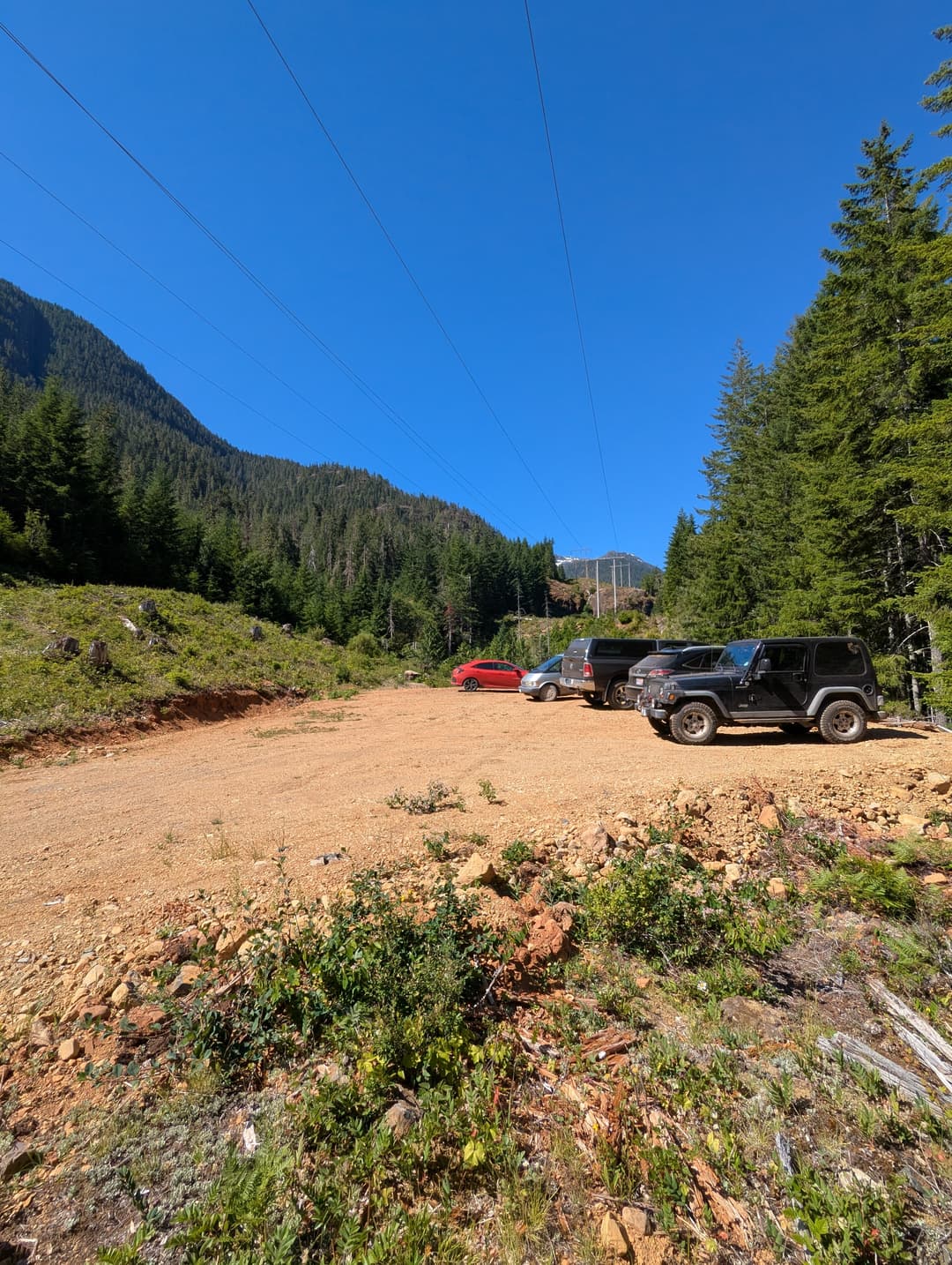
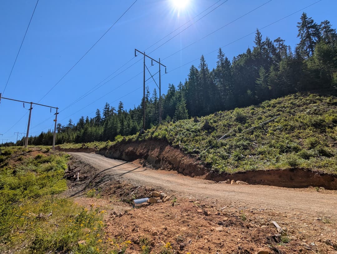
Since we were on the island to hang out at Strathcona for a relaxing and rejuvinating camping trip I thought, why not bag another infamous peak? I read up a bit on Steven's blog about this hike and it looked like a worthy contender. I told Sohee that it would be difficult but that she could use my trekking poles, she reluctantly agreed looking longingly at the paddleboards that would go unused. We started at the crack of 9am driving to the lower trailhead (marked on AllTrails). I would not recommend this strategy as it adds about 3.2km extra kilometers to the hike and is just a trudge through the forest. The upper parking lot had an amazing-quality dirt road access, it seems like any vehicle could make it to the parking lot unhindered.
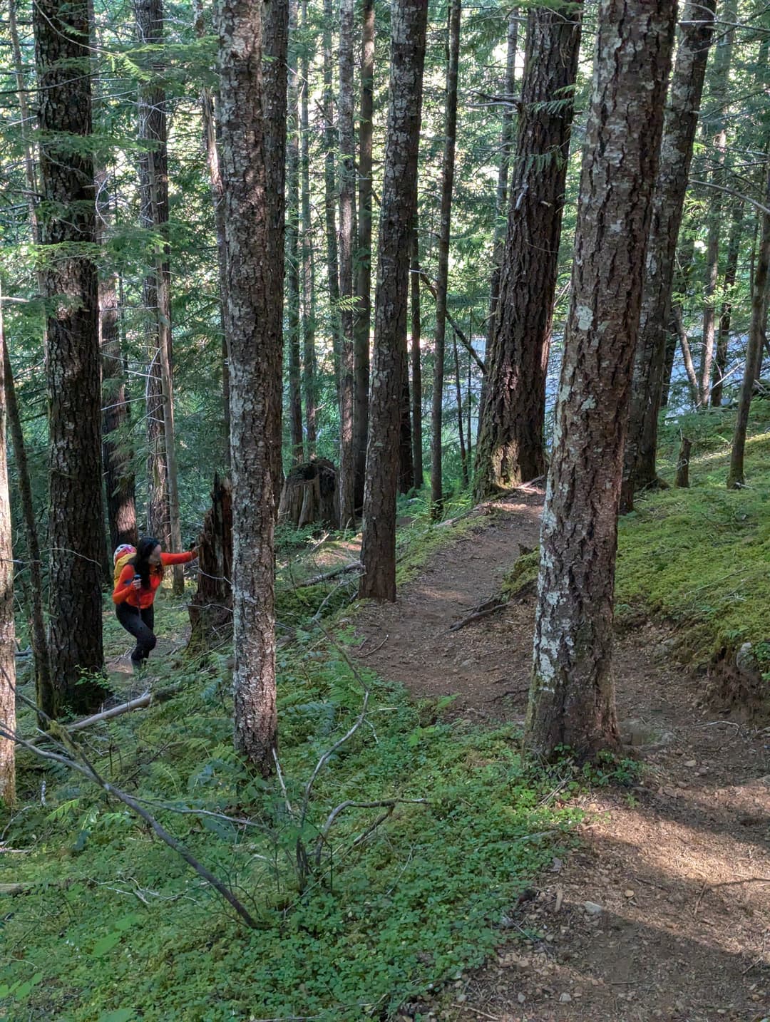
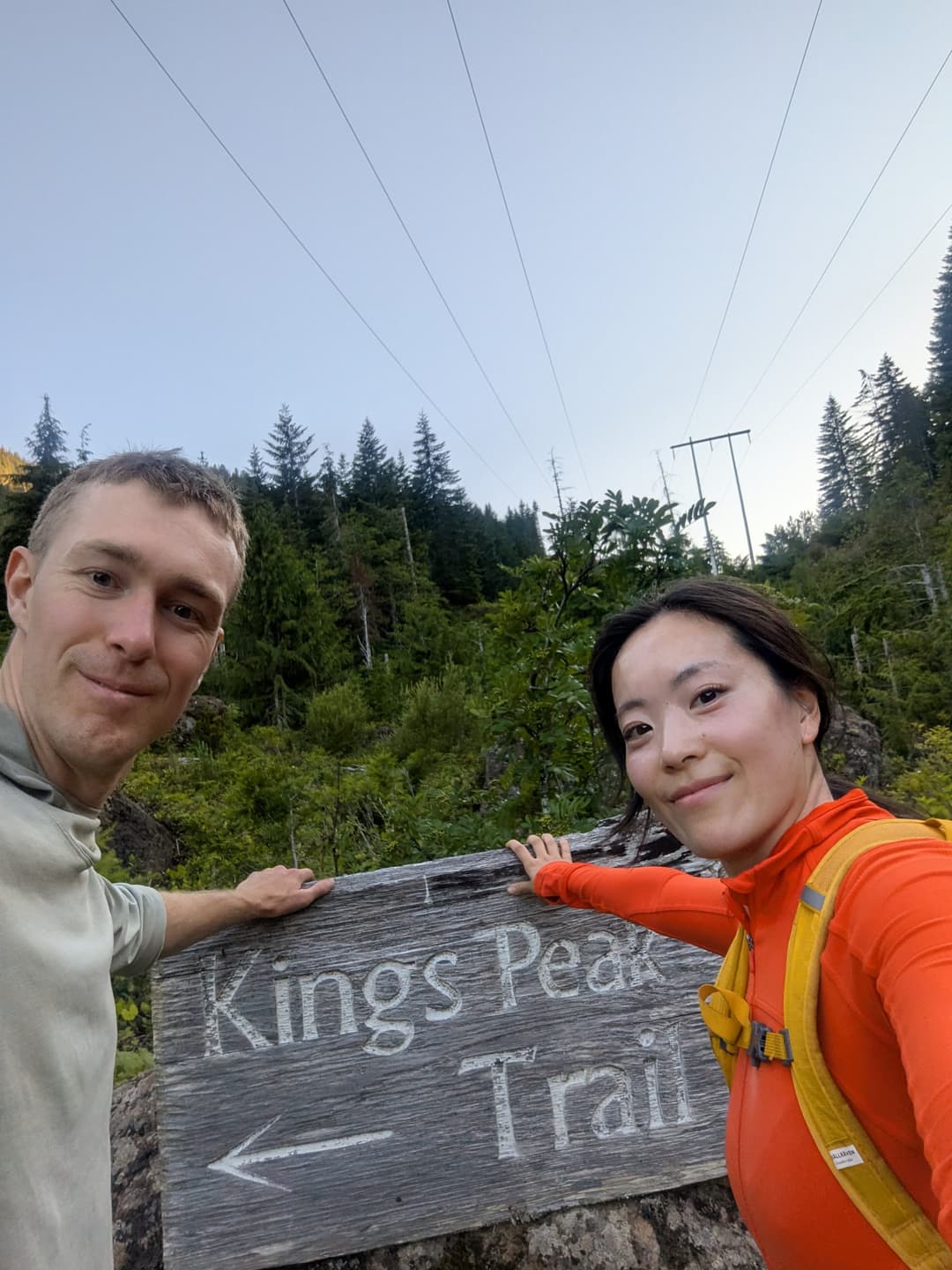
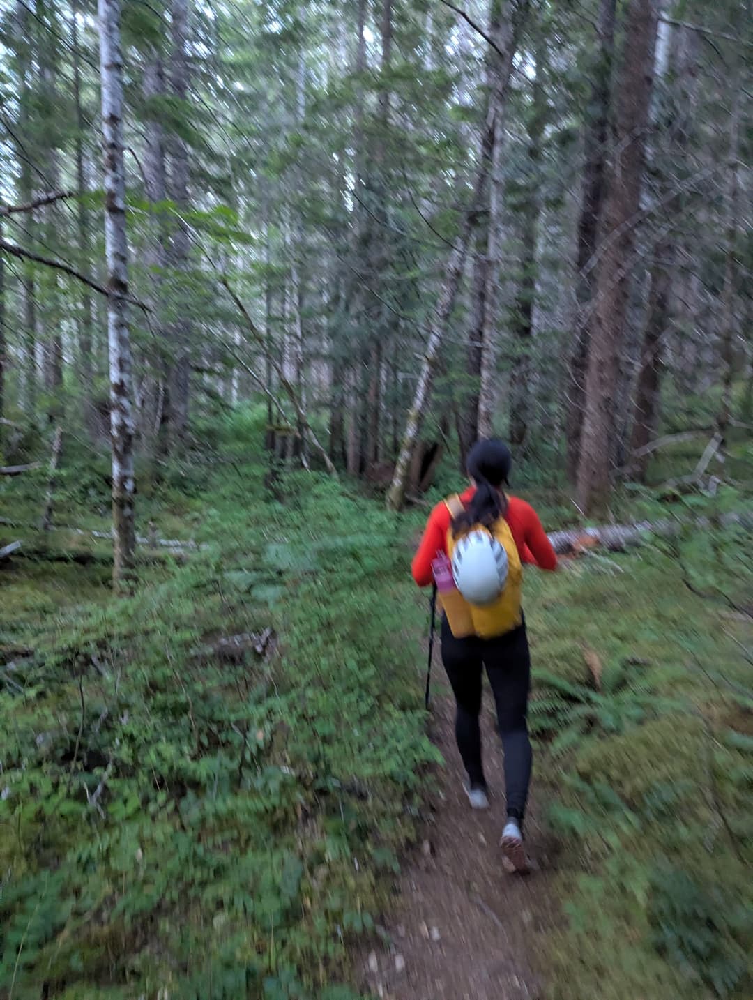
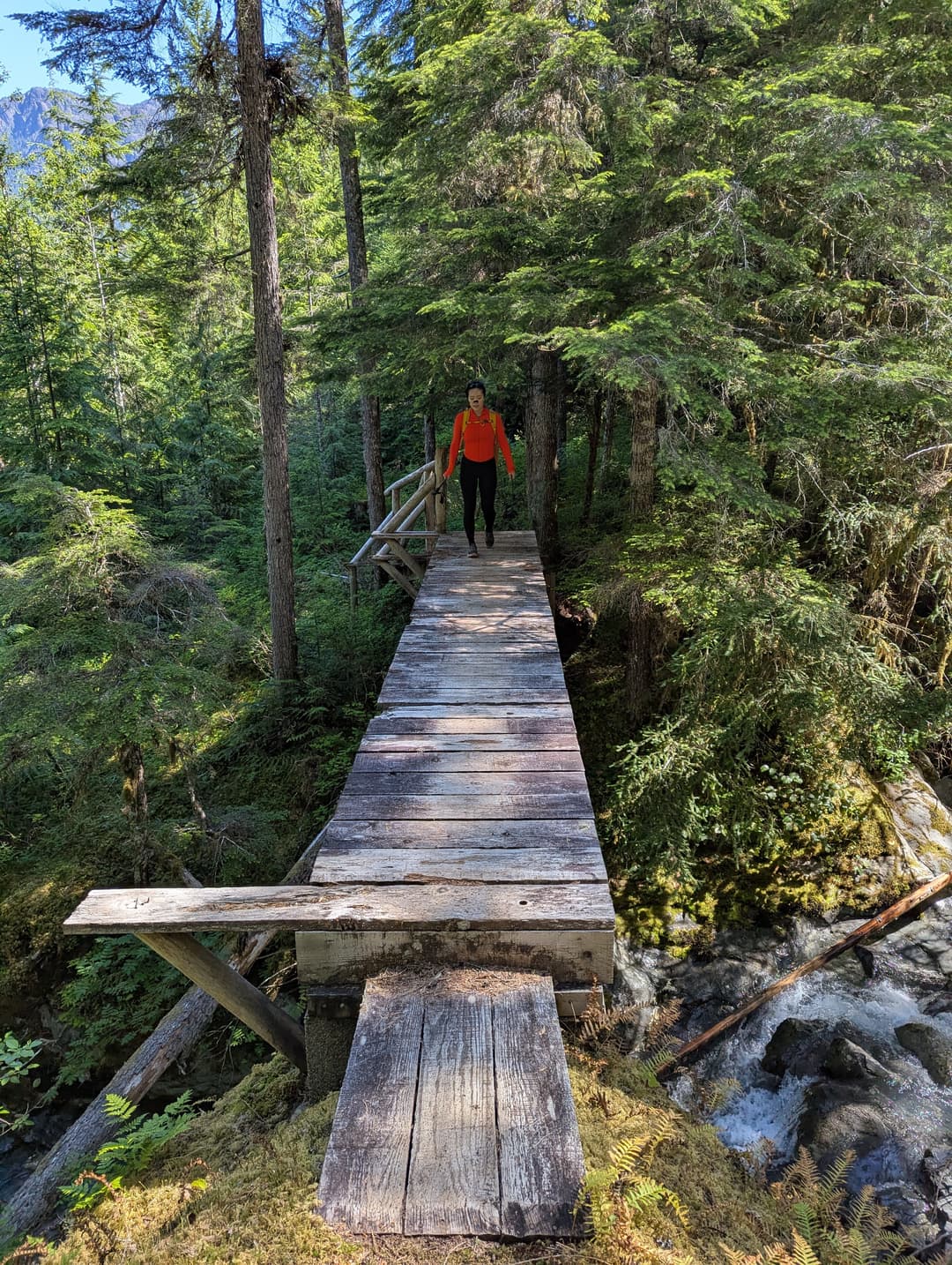
From the upper parking lot there is a marked sign saying "Kings Peak", its unmissable, and then the trail really starts. Near the start there is a nice bridge that has been built to help cross the river. Then upwards through the trees, nice switchbacks and some sections of easy scrambling.
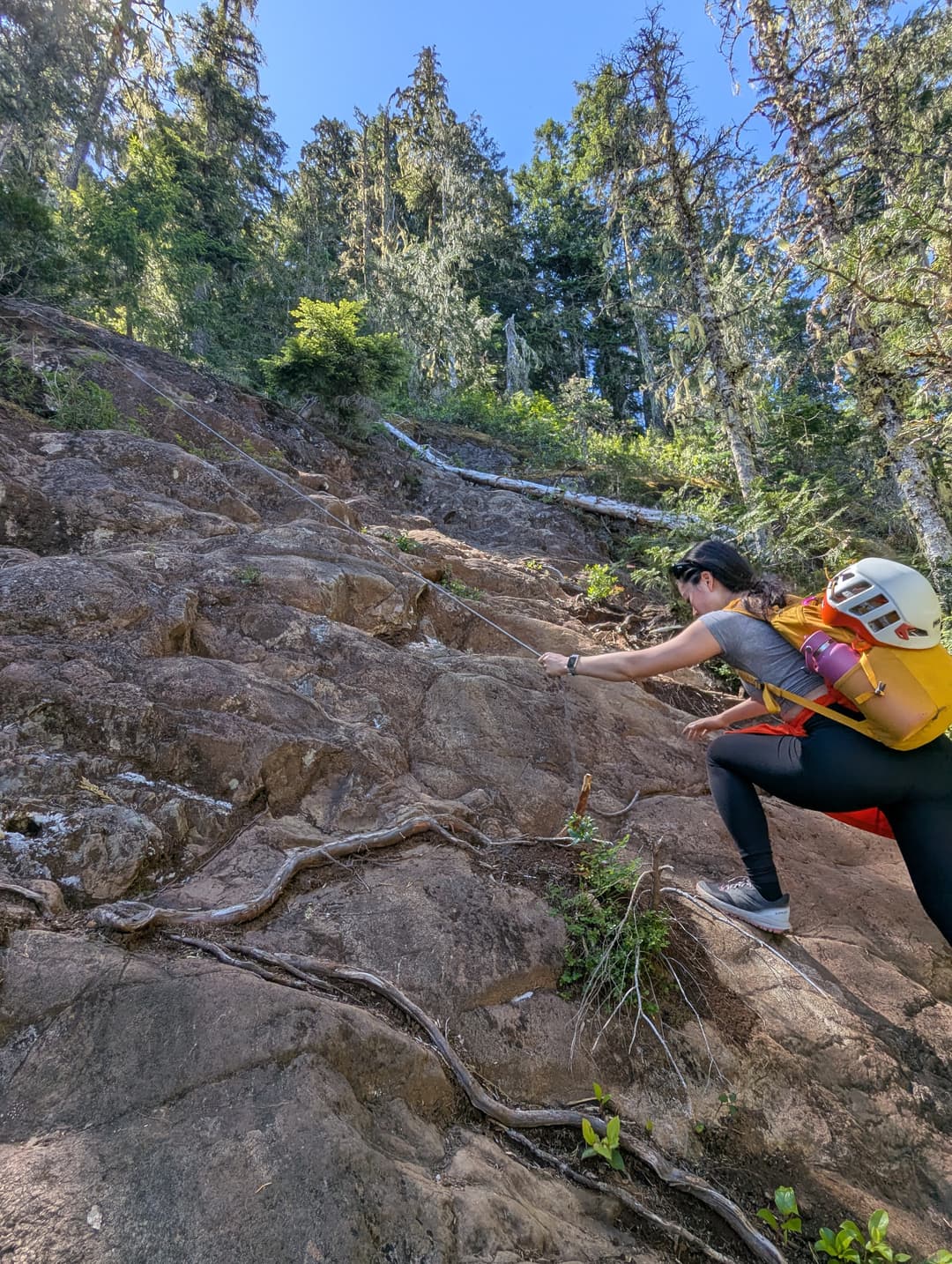
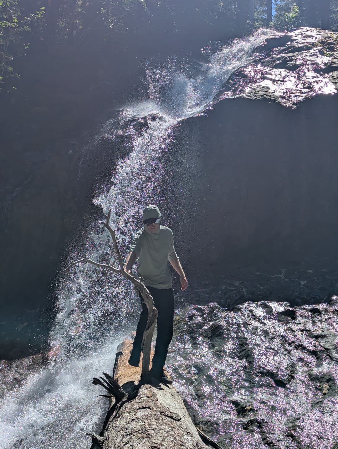
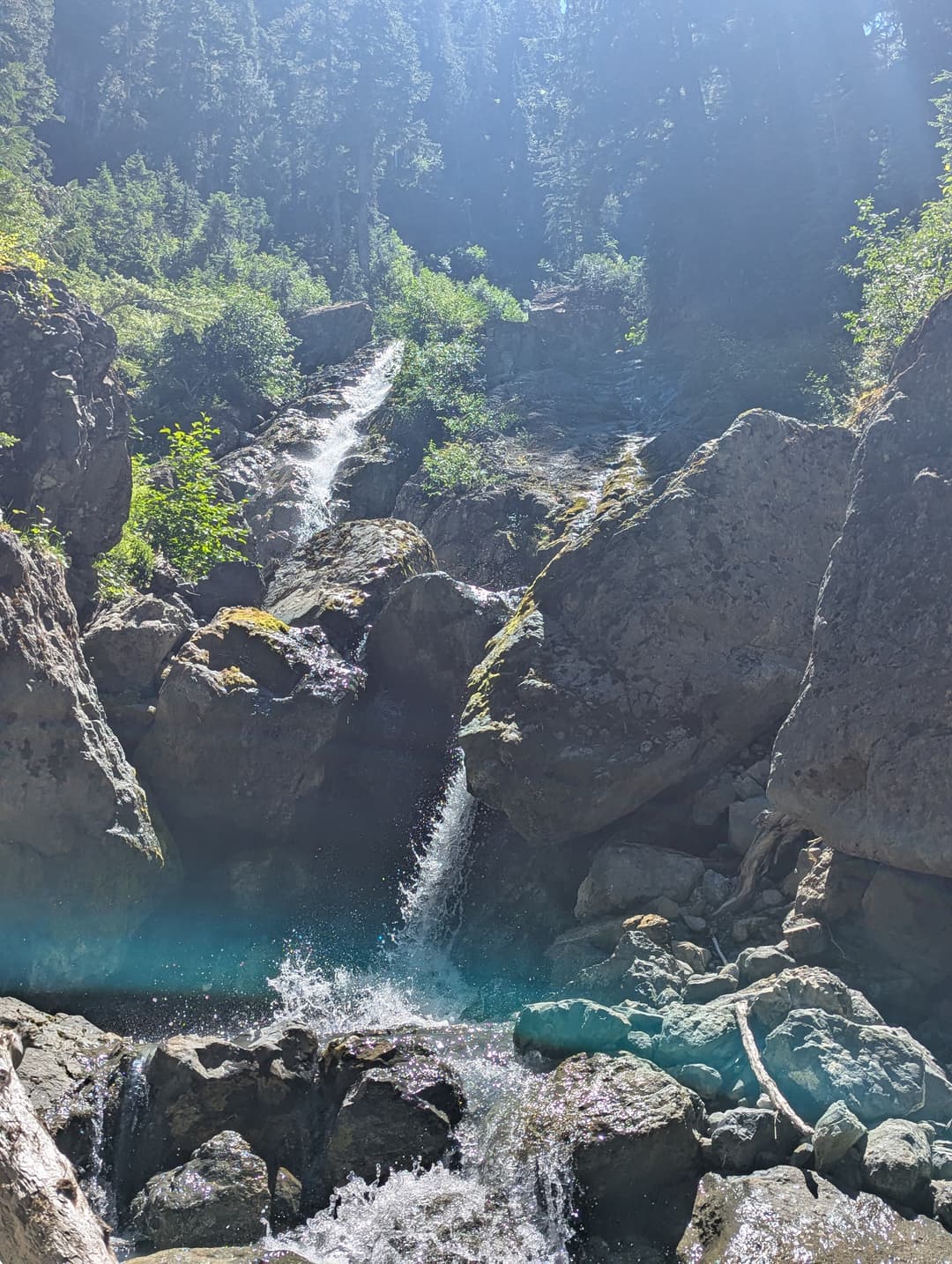
Eventually we found ourselves at a wonderous waterfall, which we took as a sign to start munching on some food. Then its time to head upwards. The trail became intensely steep and directly upwards just after that waterfall. After some gruelling legwork we found ourselves upon a mystical clearing where we could see hints of what was to come. The trail became a bit enclosed by tree branches for a bit before opening up. We then followed the river upwards, through some steep dirt sections (easy to slip on!).
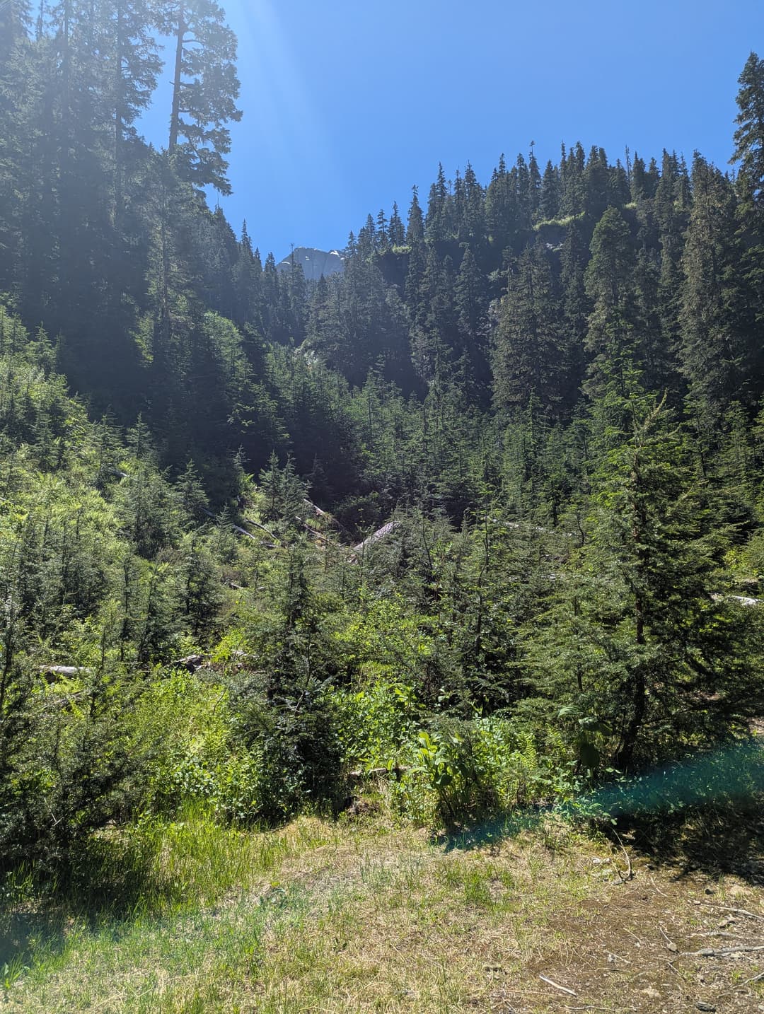
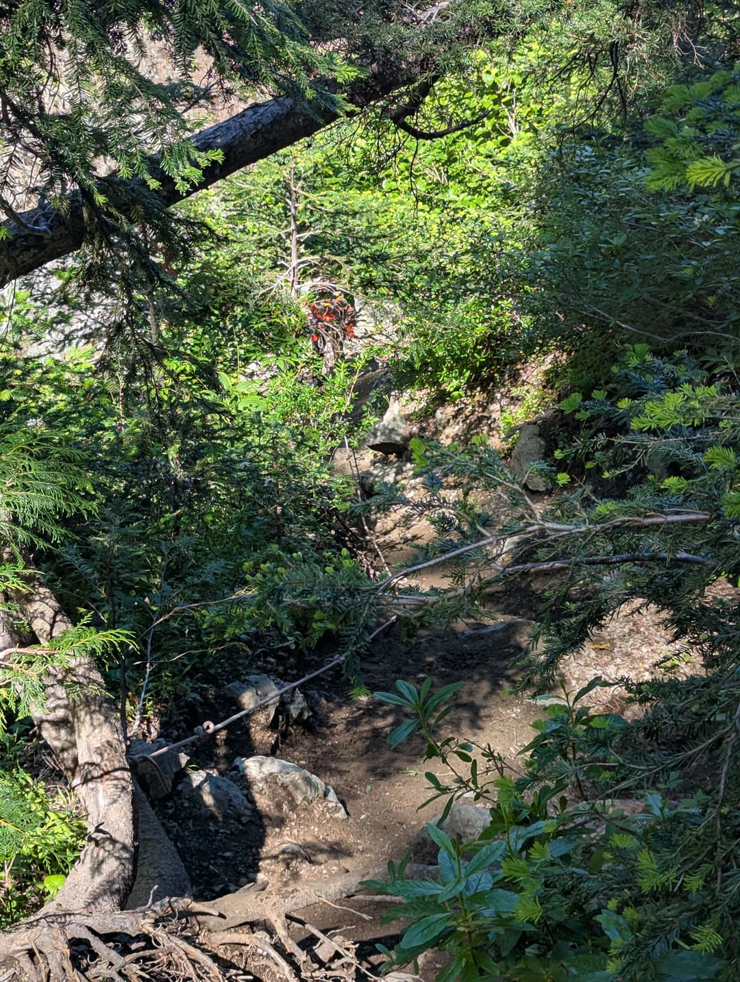
After some more intense upwards traversal we broke out into the first major open area. Someone had been so kind as to leave some extra TP for the journey. We did not hesitate to seize the moment. We were informed that someone had been rescued recently from the snow approach as an entire section had collapsed around them while they were making their way up. Seems like the winter gulley approach is a no-go.
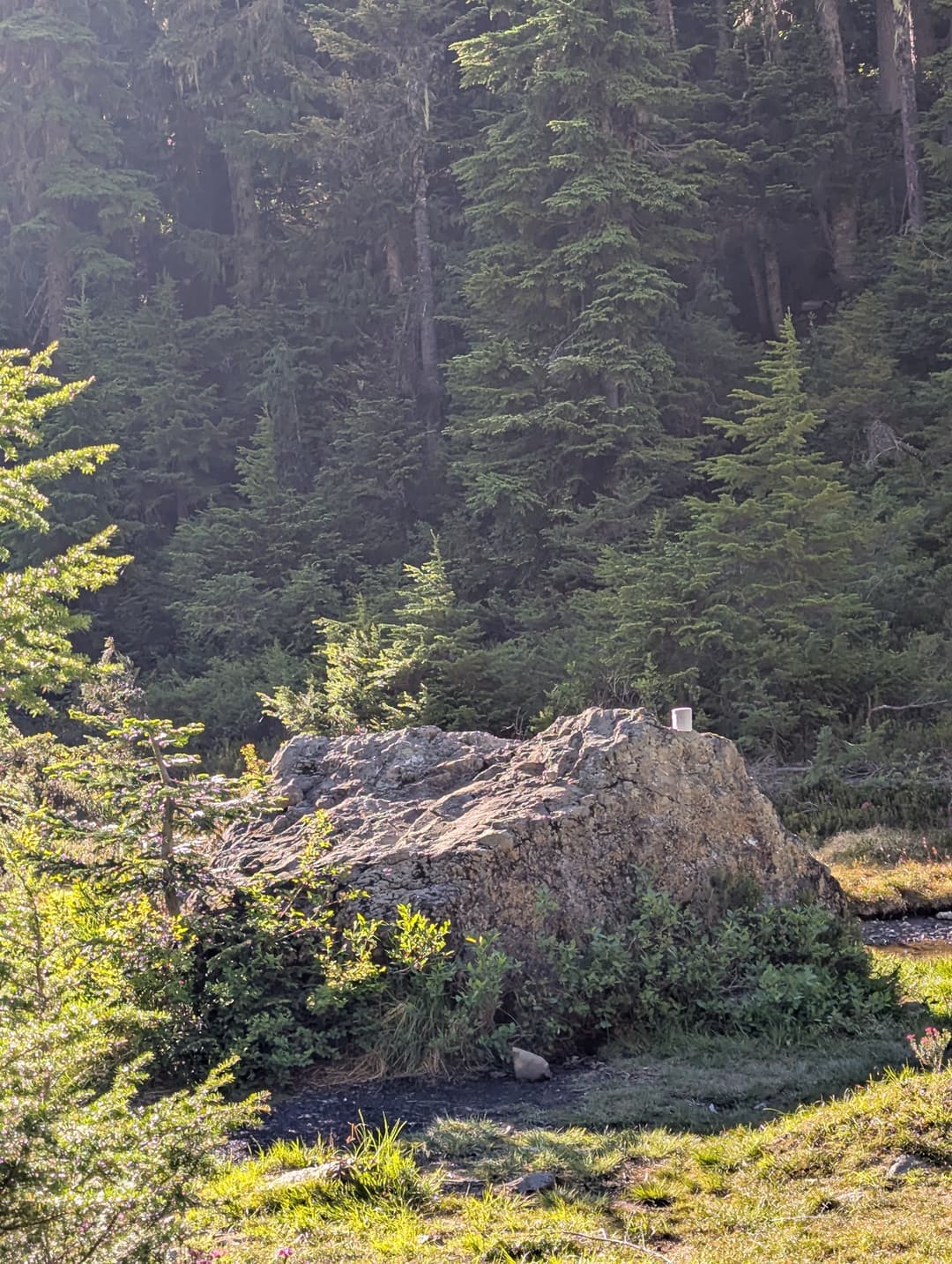
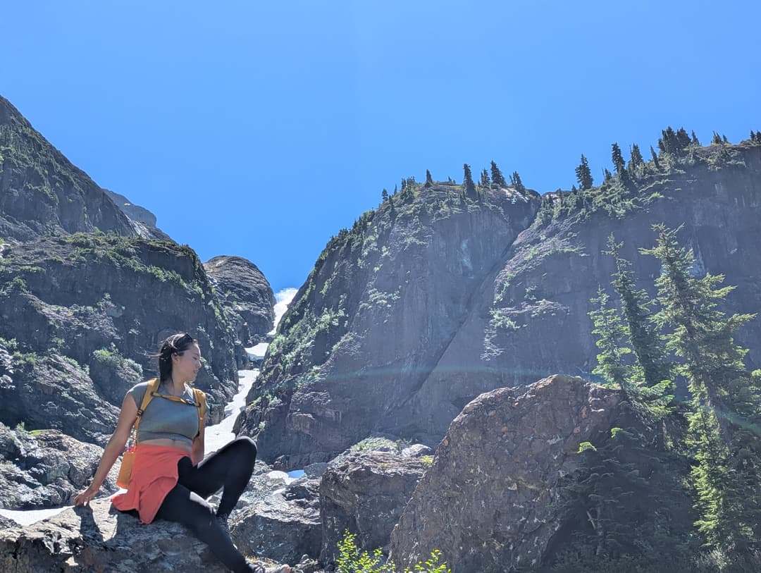
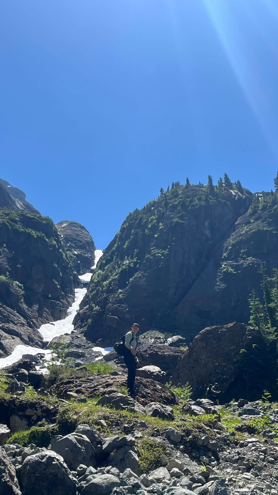
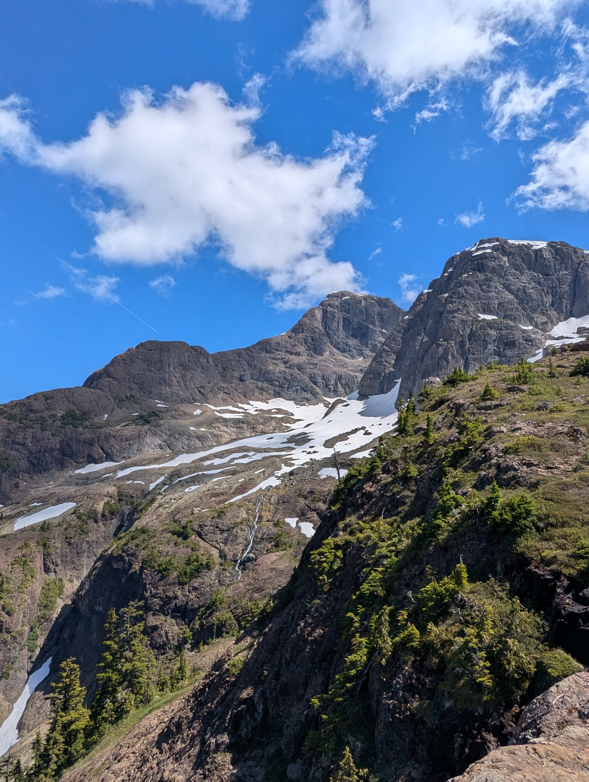
We ended up following the AllTrails route which led through the clearing and up through some more excellent loose dirt. Upwards and onwards, eventually we entered the second major open area. Absolutely breathtaking scenery from here, we ate some candies to celebrate.
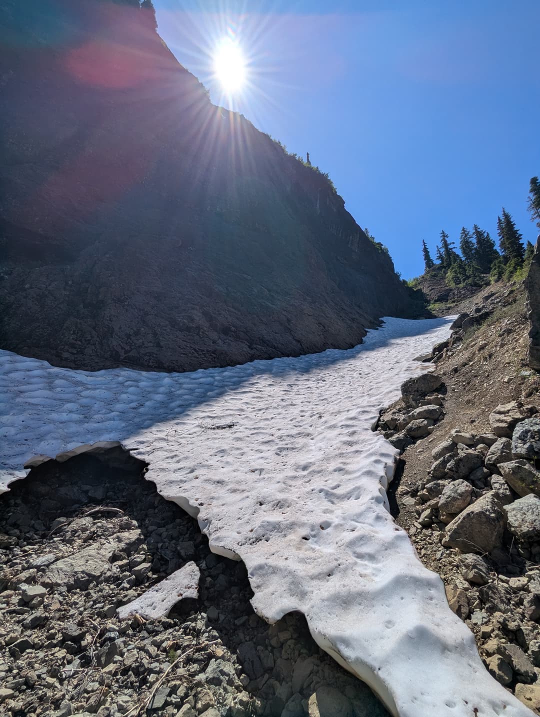
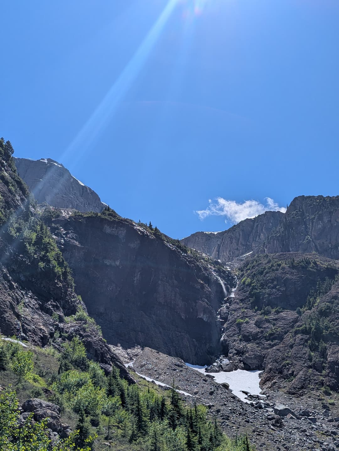
Up and over across the opening we went. Ever searching upwards towards the summit. Since we had started late we were getting a bit concerned about time. This next section would truly test our mountaineering abilities. Loose rock everywhere. A perfect chute to funnel them down. We had to mind our footing here lest we send rocks tumbling down. The final section had some nice scrambling on solid rock at least and then it ends up on a nice plateau. Sohee decided to stay here, see you in 3 hours!
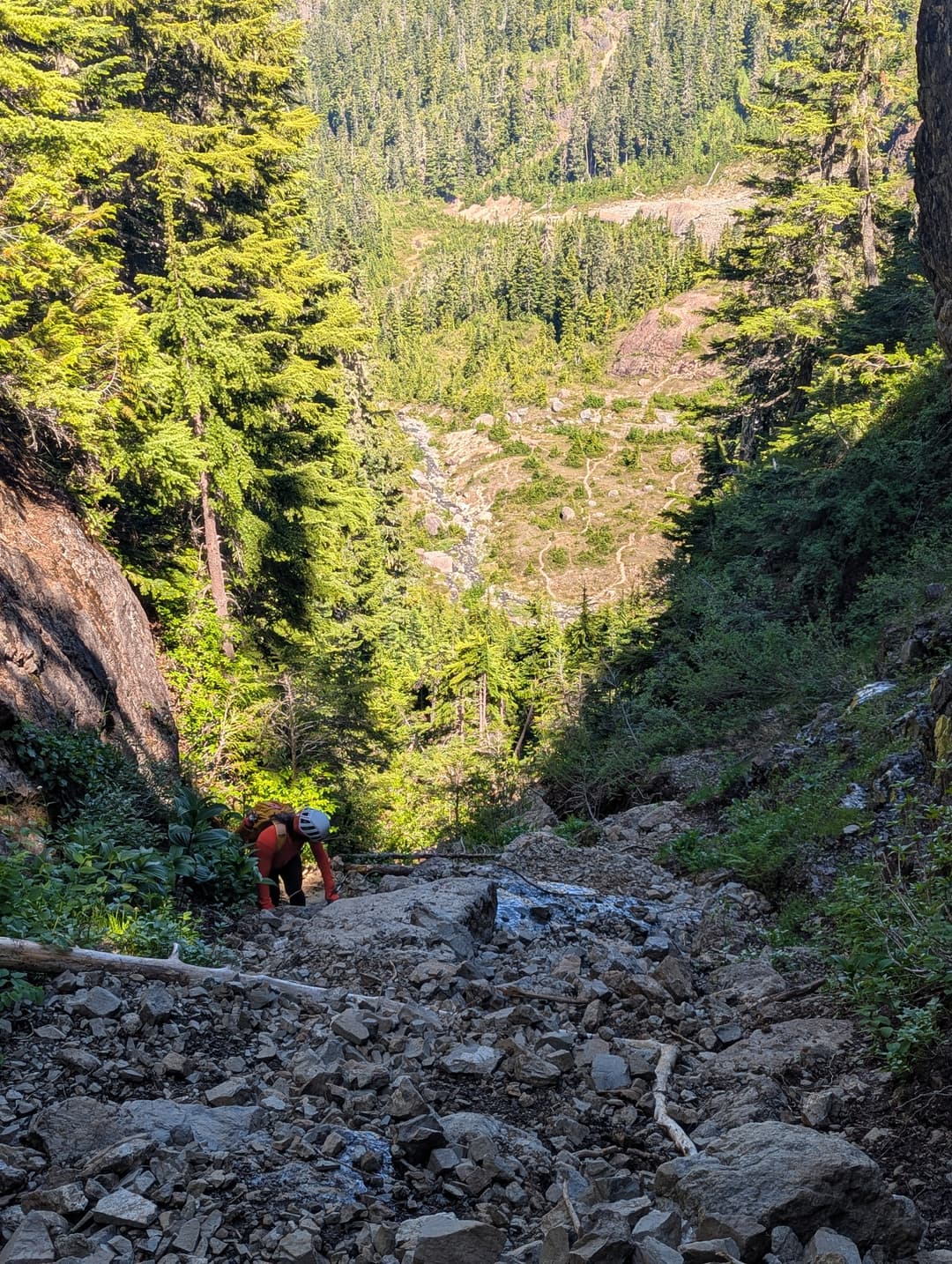
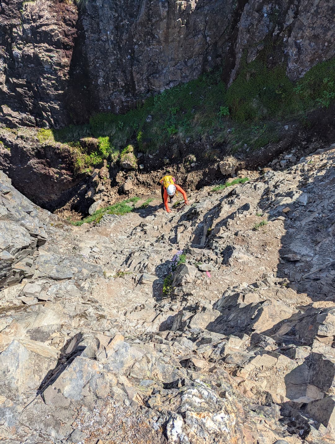
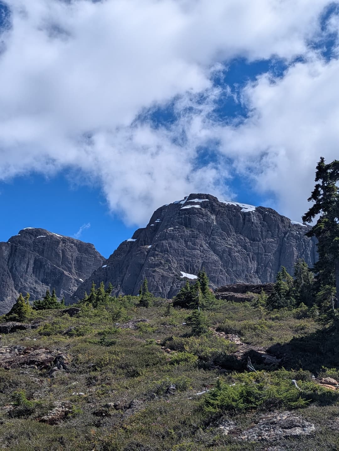
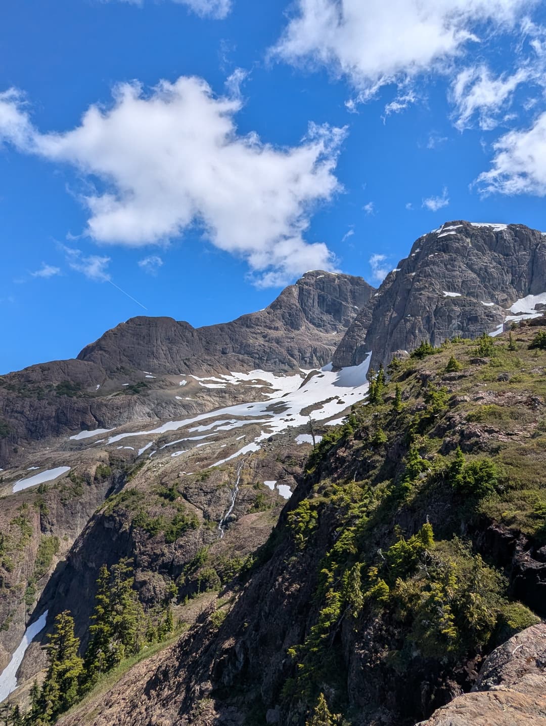
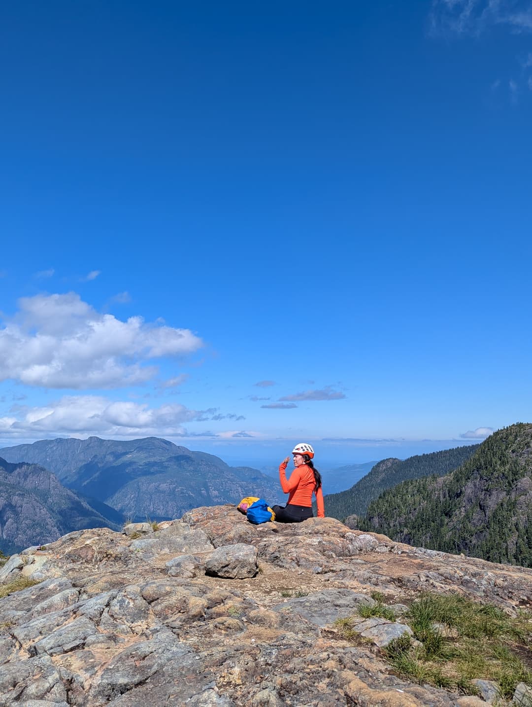
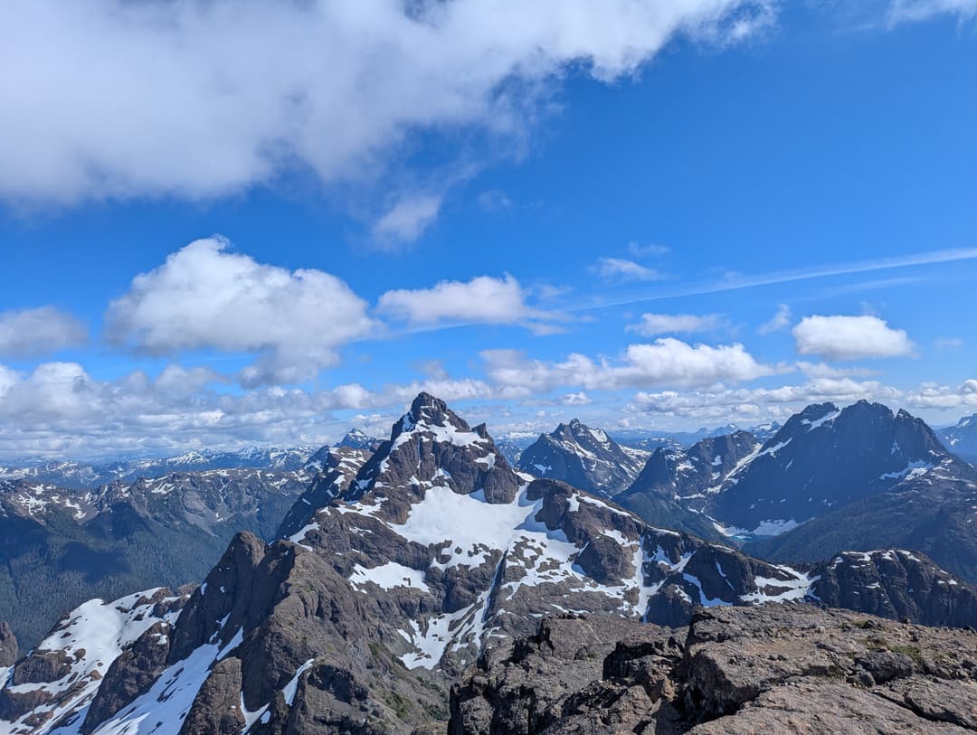
First step, bag Queen's peak on the way. It was engaging and fun heading to the top, some scrambling, the trail vanishes occassionally, and the occassional snow patch appears. Its surprisingly far from Queen's to Kings, but the views are amazing. Reaching the top King's Peak I was confrontent with Elkhorn Mountain. Its abrupt appearance wowed me, I'll be back...
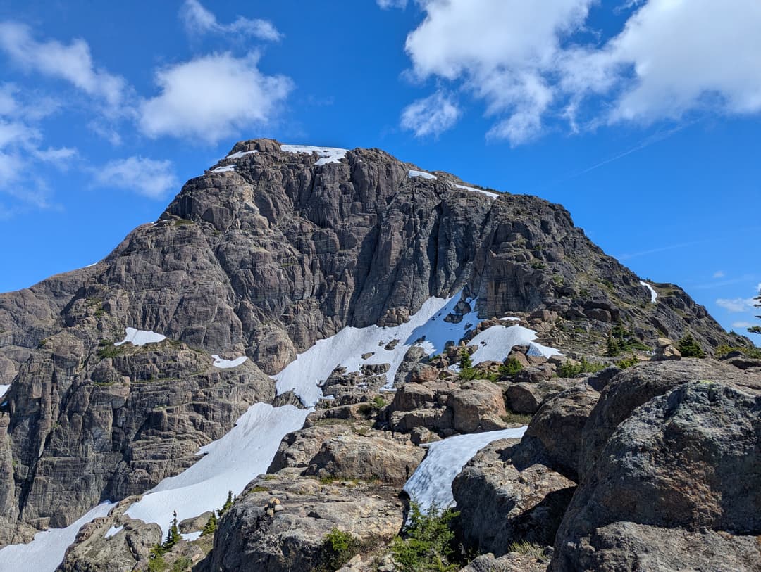
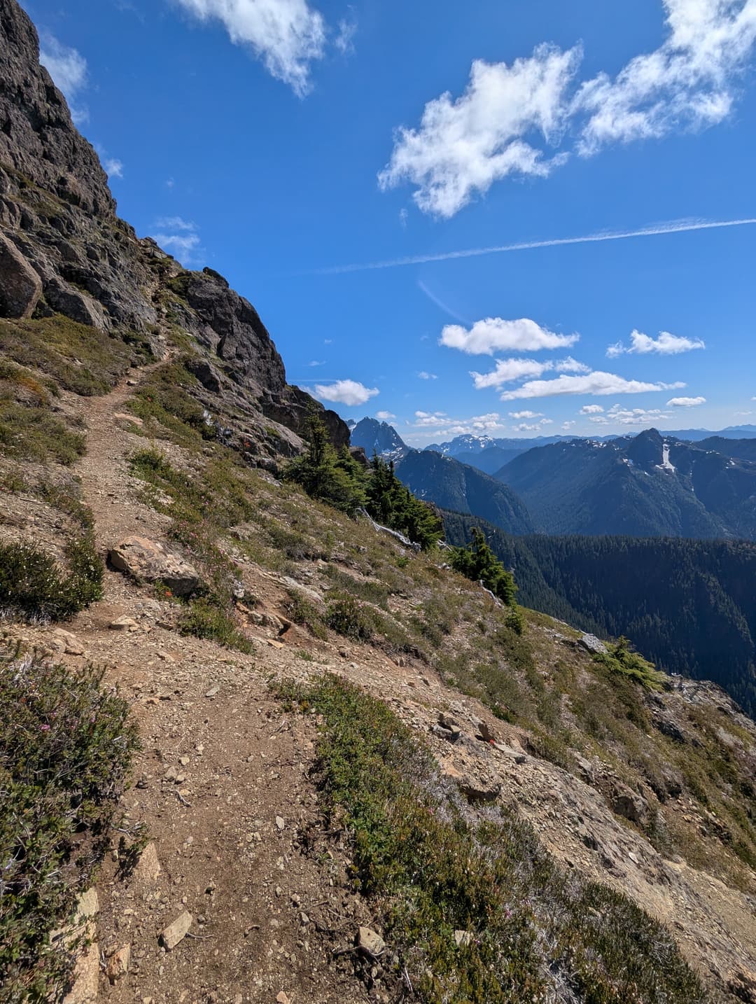
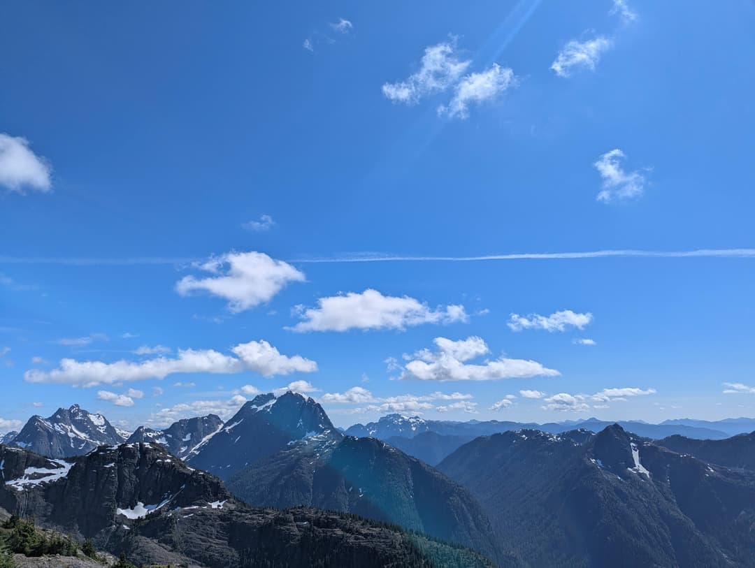
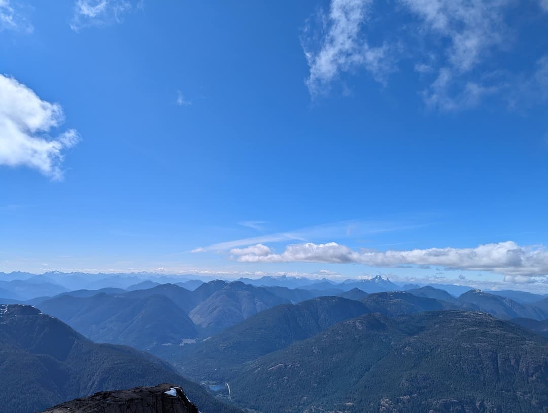
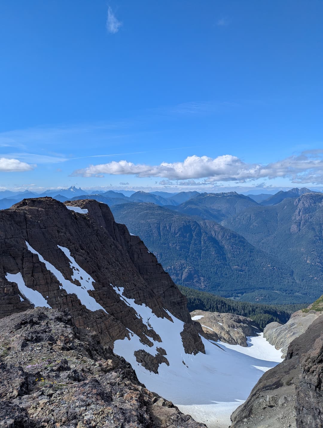
It was now getting quite late, so I raced back to meet Sohee at her plateau. We reunited then continued down, with renewed vigor and haste for the sun was setting at a disconcerting pace.